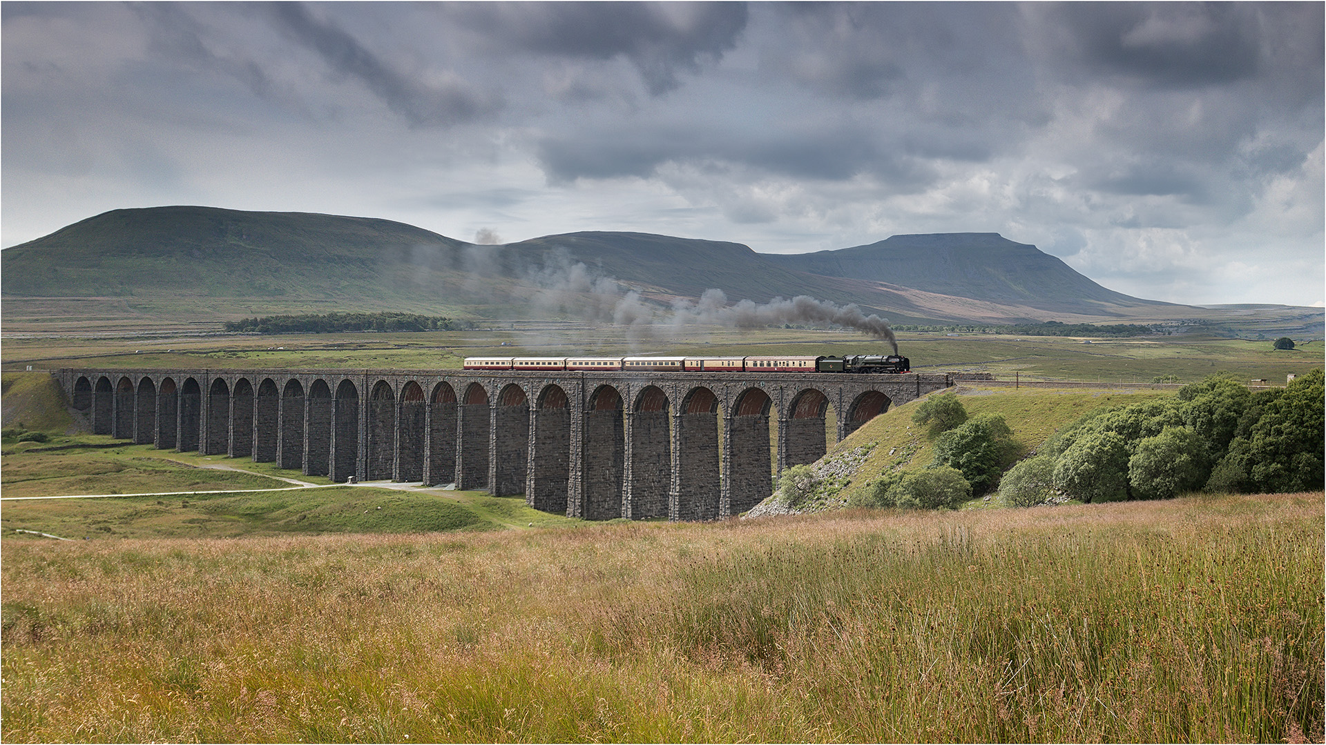
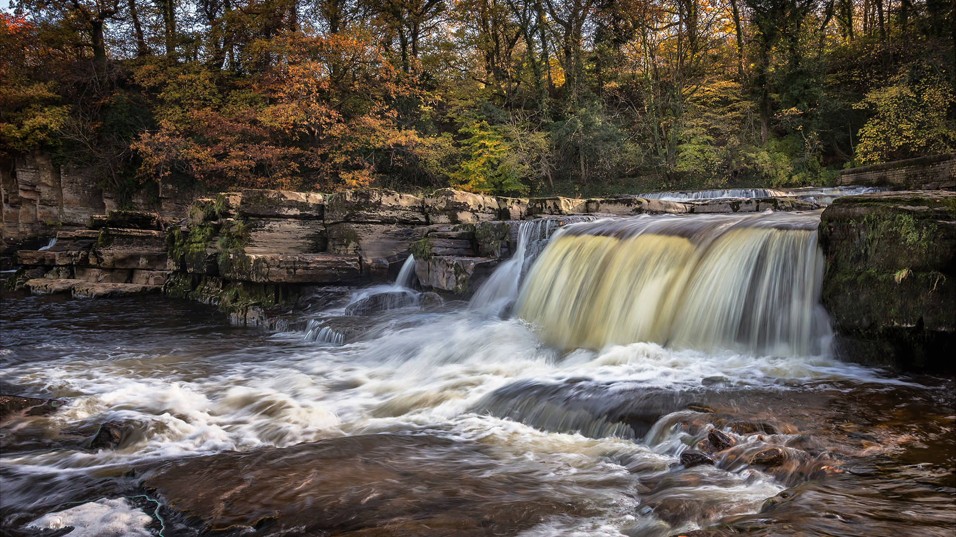
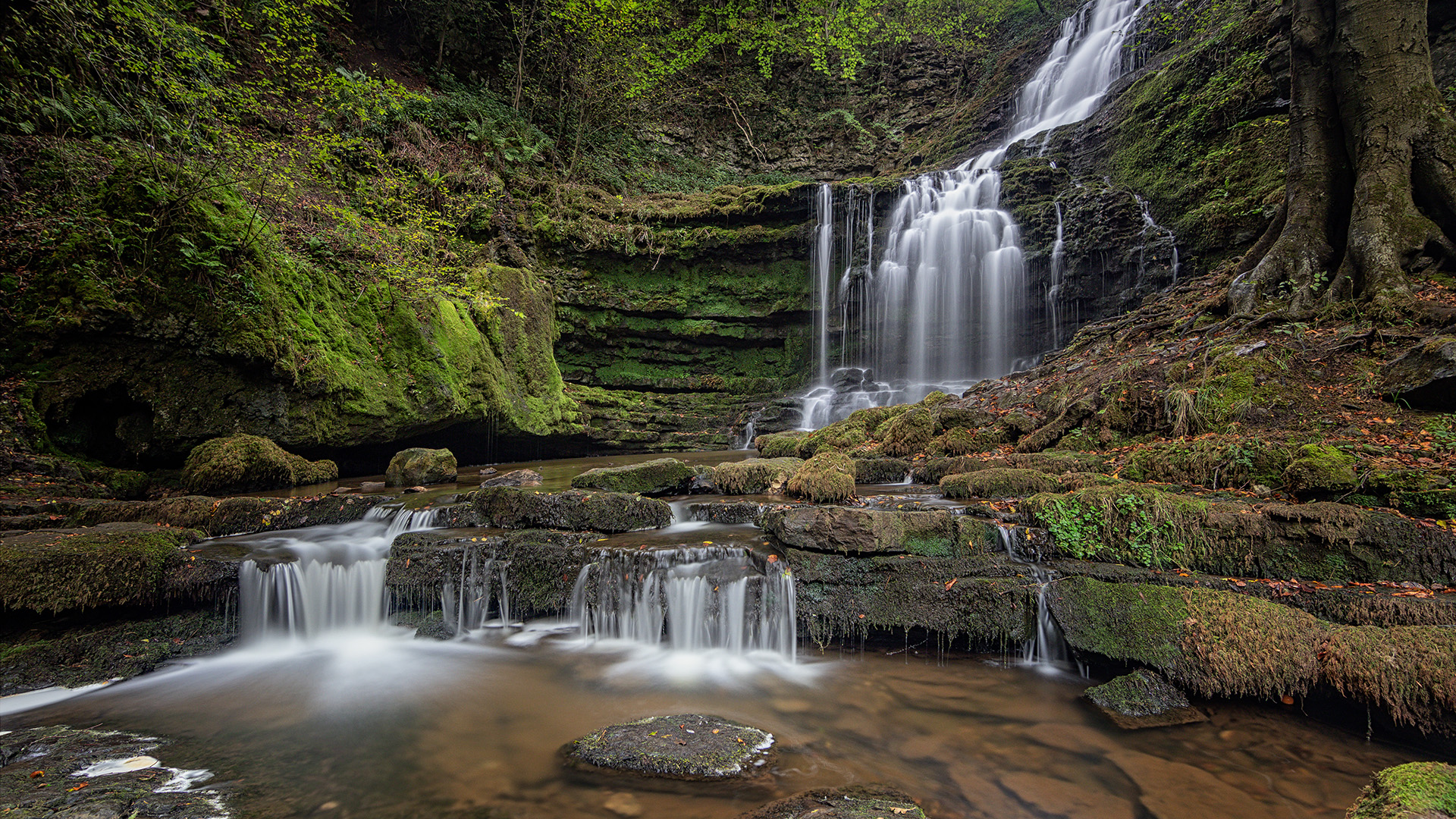
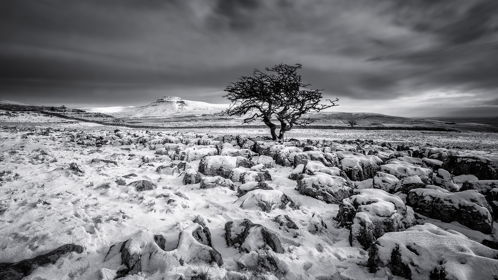
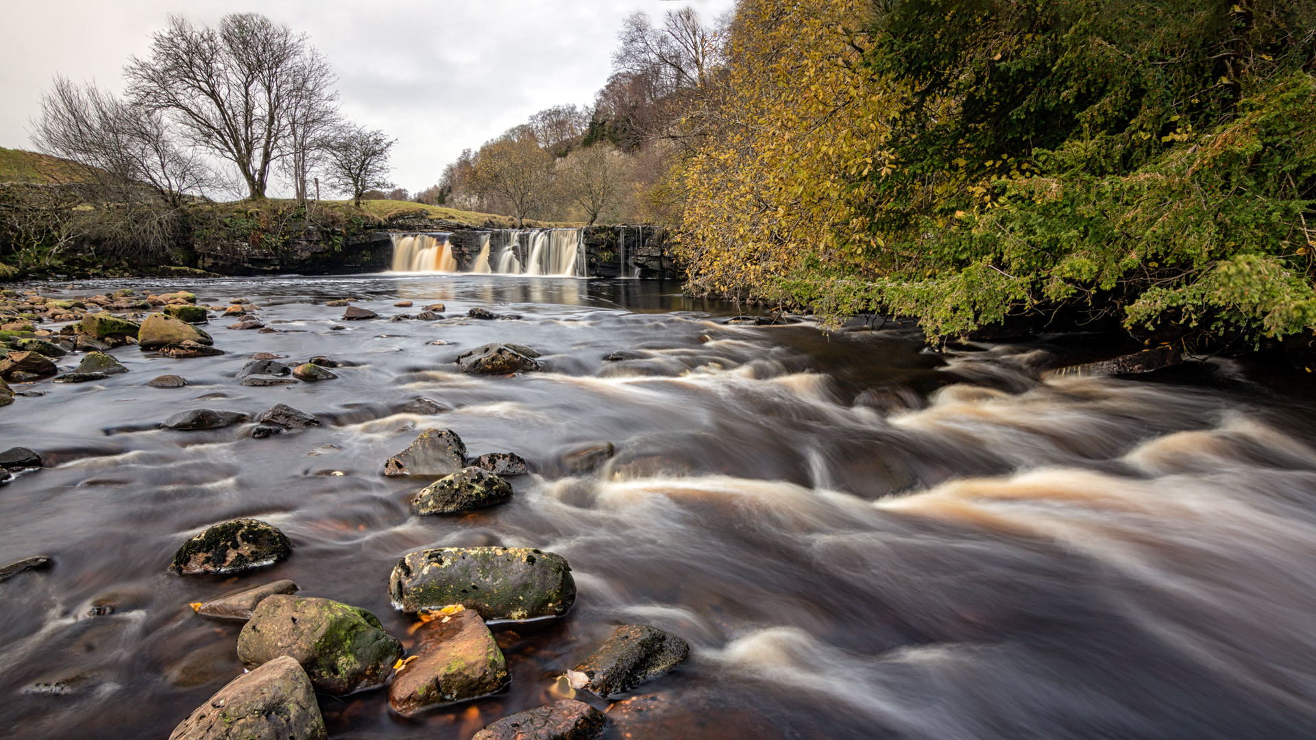
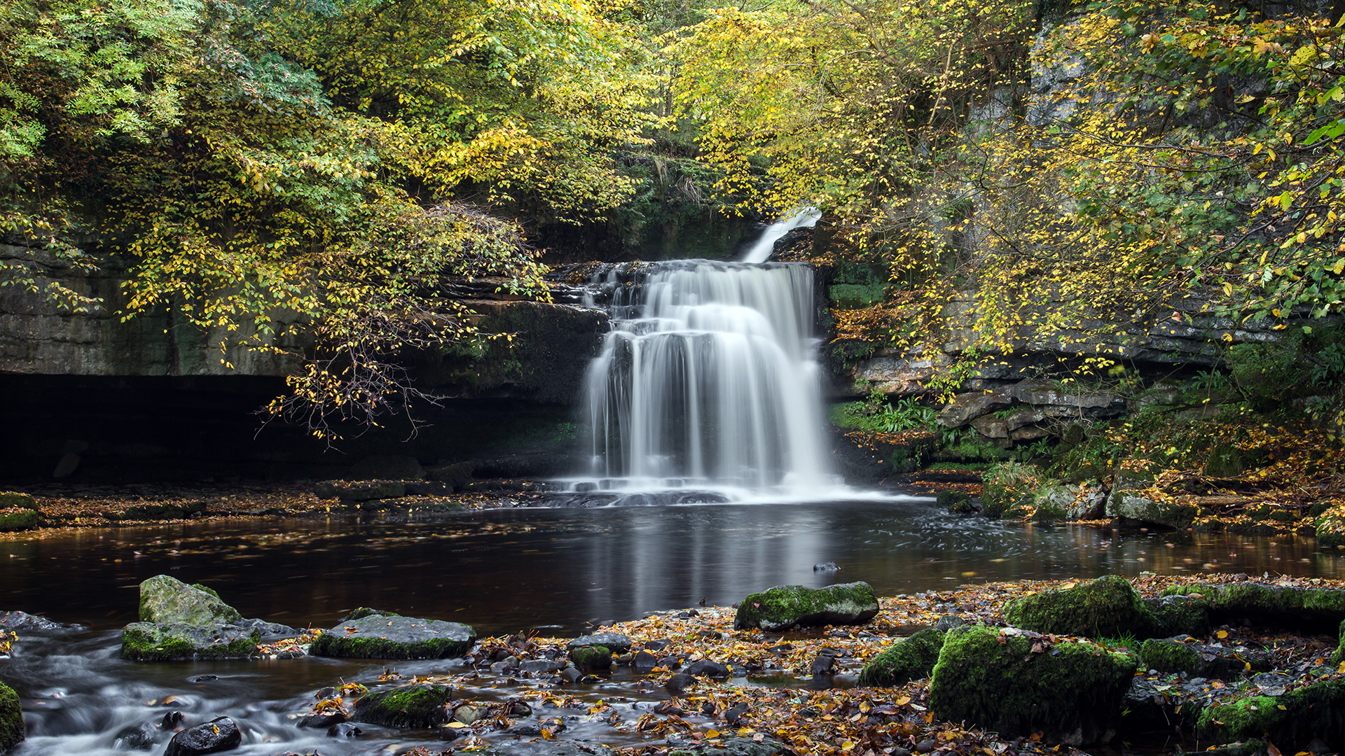
Yorkshire is the largest county in England and encompasses a range of landscapes, from the Yorkshire Dales, to the North York Moors and the seaside resorts of the North Sea coast. Posts on photo locations in Yorkshire can be selected from the list below, or found on the map.
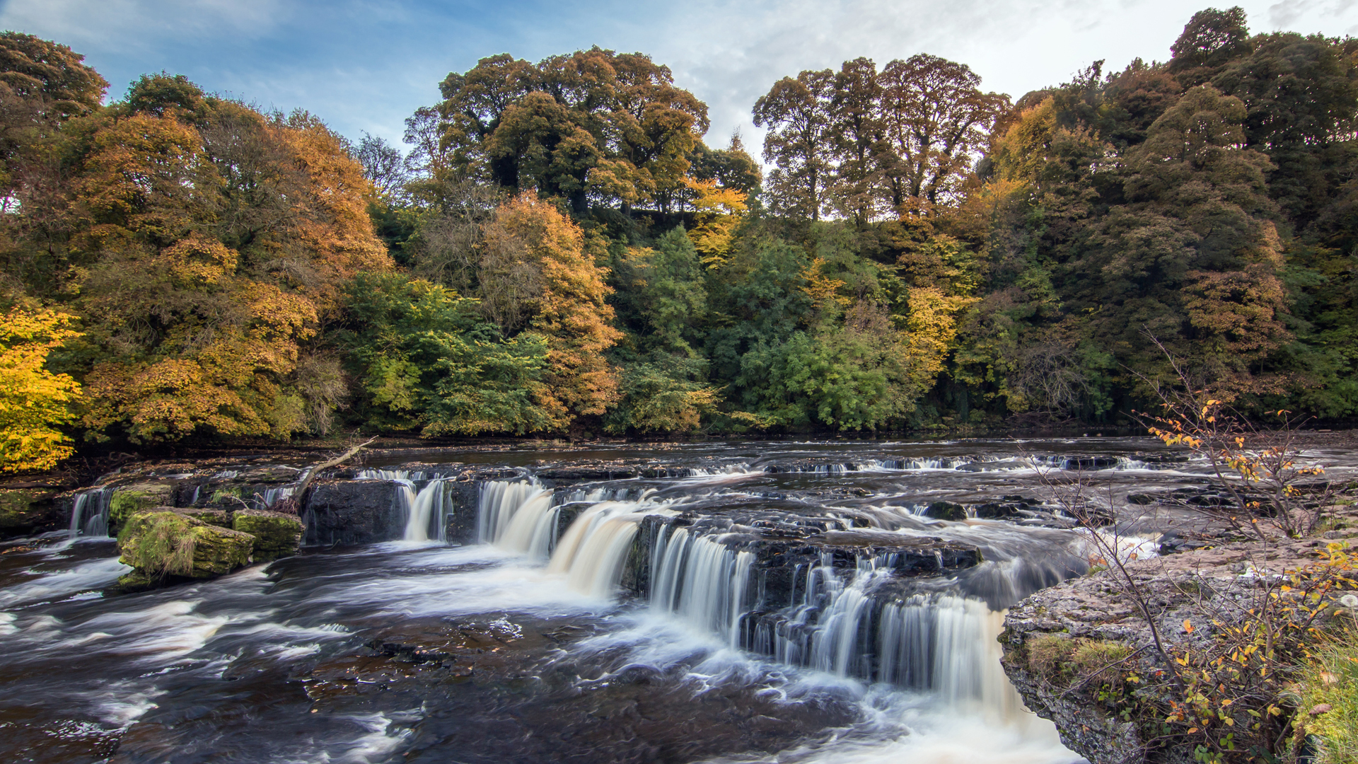
Aysgarth Falls are a very well known set of waterfalls on the River Ure in Wensleydale, located at the village ...
Bolton Abbey is an estate in the Yorkshire Dales a few miles north of Skipton. There is a small village ...
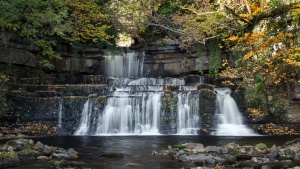
Cotter Force is an attractive waterfall on Cotterdale Beck in Wensleydale in the Yorkshire Dales. The falls consist of a ...
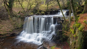
The wonderfully named Crackpot Falls are located in the valley of Swaledale, close to the village of Reeth. They are ...
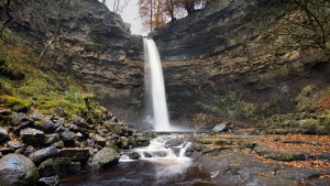
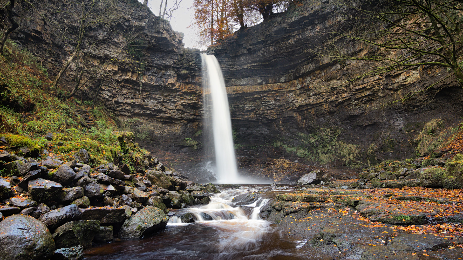
Hardraw Force in Wensleydale is claimed to be the highest single drop waterfall in England, with a drop of about ...

The Ingleton Falls walk is one of the best known and most popular walks in Yorkshire. The walk is on ...
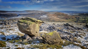
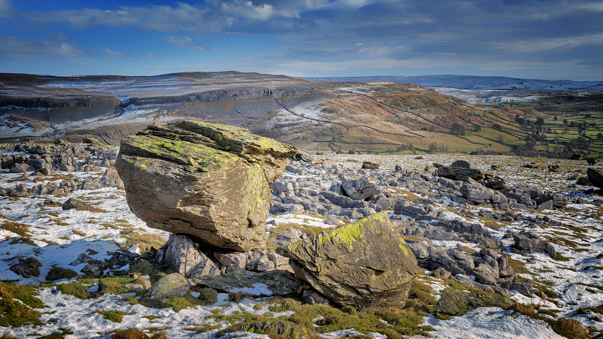
In geological terms, an erratic is a piece of rock that differs from the type of rock in the area in ...
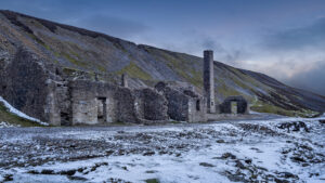
The Old Gang Smelt Mill is a disused lead mine and smelting mill in the Yorkshire Dales, located on the ...

North of Ingleton, the B6255 climbs to a height of over 300m as it passes between the mountains of Ingleborough and ...

Richmond Falls are a series of waterfalls on the River Swale, close to the centre of the town of Richmond, ...

Scaleber Force is a lovely waterfall located on High Hill Lane - the minor road between Settle and Malham. The ...
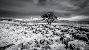
Twistleton Scar is located on the slopes of Whernside above Ingleton in the Yorkshire Dales. It is a limestone pavement ...
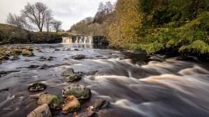
Wain Wath Force is located in Upper Swaledale close to the village of Keld. This area of Swaledale has a ...
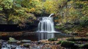
West Burton Falls is a very scenic waterfall close to the village of West Burton in the Yorkshire Dales. West ...
Yorkshire Locations Map
Yorkshire Gallery
A selection of images from Yorkshire are shown at our Yorkshire Gallery Page.


