Date: 4th Mar 2023
Around Kirkjubaejarklaustur
Kirkjubaejarklaustur is a small town located about 70km east of Vik, and for many visitors it is probably just a brief stop between Vik and Jokulsarlon. However the town has a famous history in Iceland, related to the massive volcanic eruption of Laki in 1783. This eruption was one of the most destructive in Iceland’s history, putting out massive amounts of sulphur dioxide, which destroyed crops and resulted in famine, not only in Iceland, and all across Europe. Locally, the village of Kirkjubaejarklaustur was threatened by lava flows when the local pastor J0n Steingrimsson delivered a famous sermon known as the Fire Sermon which legend says halted the lava flow just before the town was destroyed.
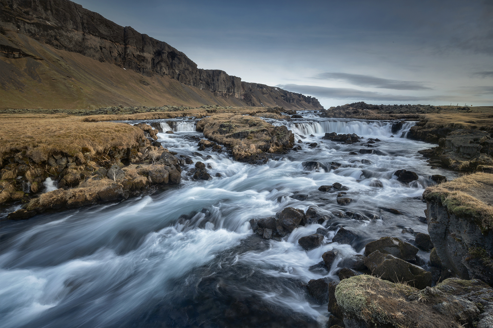
There are a few minor attractions close to the town, which are worth taking tome to visit eater than rushing between the highlights of Vik and Jokulsarlon. First thing we re-visited Fossalar Waterfall, which is about 13km east of Kirkjubaejarklaustur. The waterfall is right next to the road, but is easier to spot driving from the west due to the lie of the land. Although a small waterfall by Icelandic standards, it is attractively located beneath a line of cliffs.
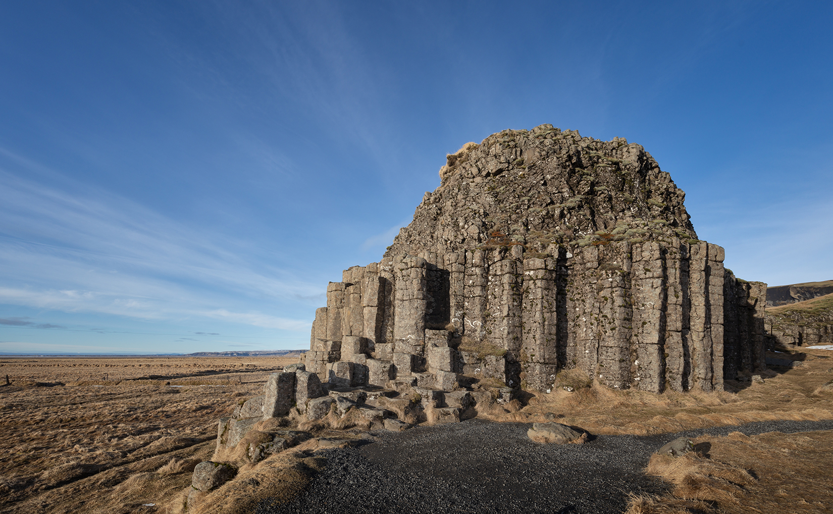
Close to Fossalar are some basalt outcrops known as Dverghamrar, which means dwarf rocks. The rocks are notable for the hexagonal basalt columns, formed when the lava cracks when cooling.
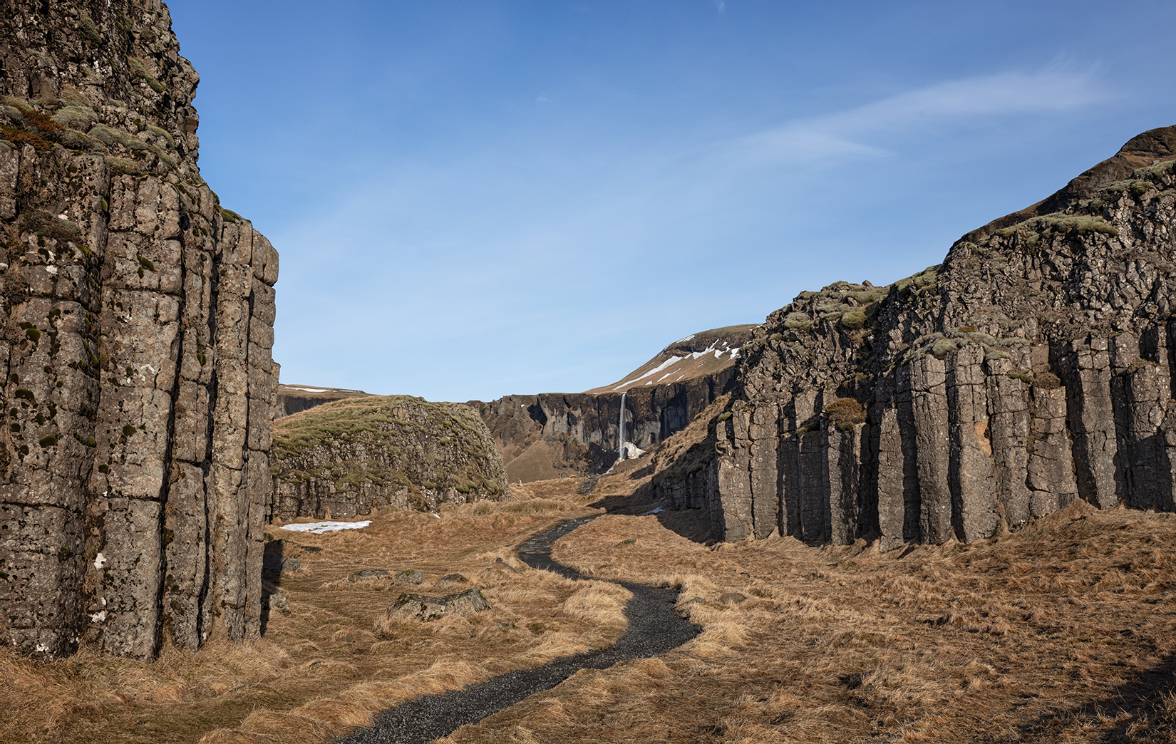
A short path leads through the rocks, and there is a view back towards the Foss a Sidu waterfall.
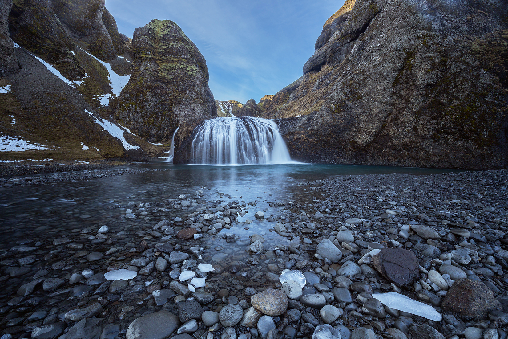
Closer to Kirkjubaejarklaustur is the waterfall of Stjornafoss, just a 1km drive north out of town. The waterfall is located in a canyon and us reached by a short walk from a parking area.
Finally in the village itself, there is an unusual sculpture called The Burden Of History by Magnus Tomasson , which commemorates the nunnery which was located in Kirkjubaejarklaustur between 1186 and 1550.
Fjardarargljufur
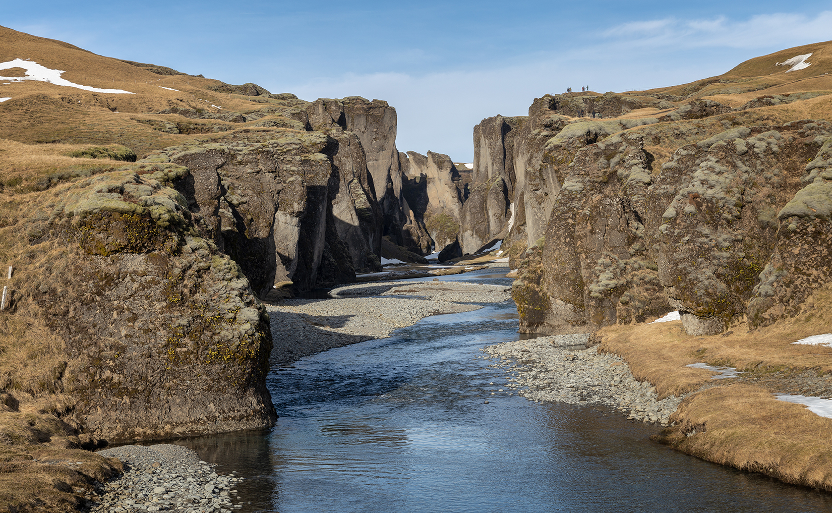
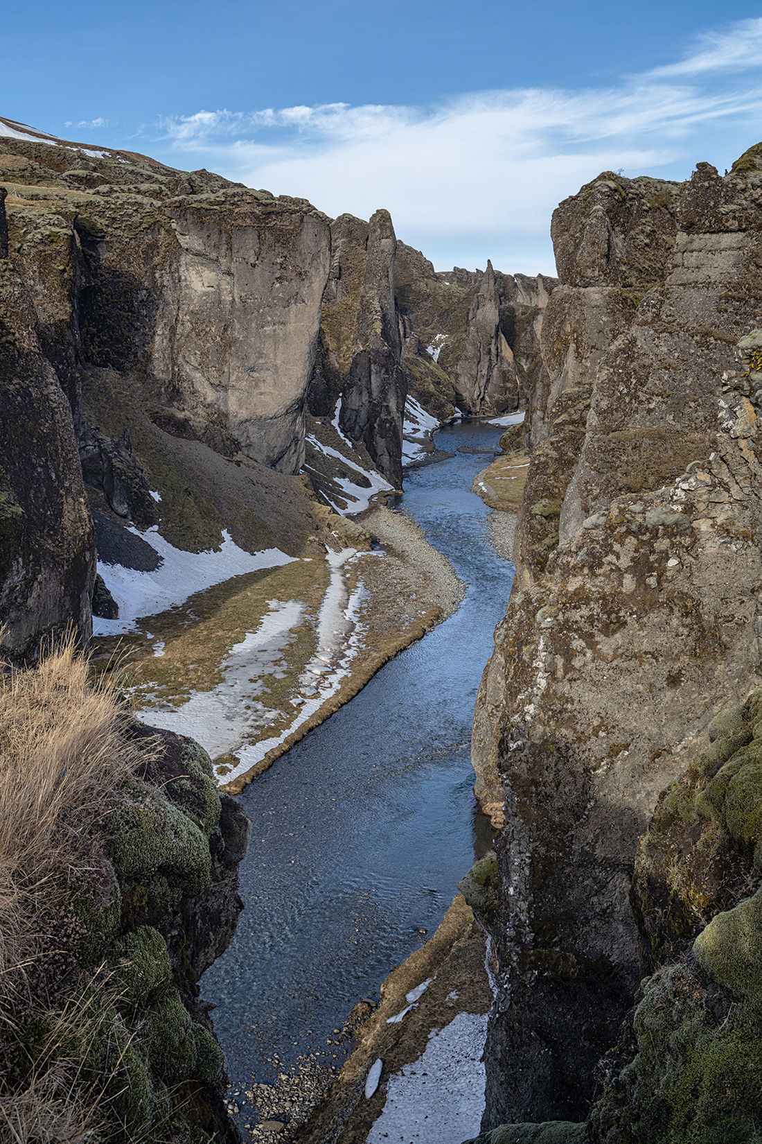
Fjardarargljufur is a canyon located about 8km east of Kirkjubaejarklaustur. There is a good path along the top of the canyon, however the walk has become very popular, leading to erosion, so the path is now roped off to protect the surrounding areas, and in winter may be closed. If the pat is closed, there is a view up the canyon from the bridge over the rive.
The path along the top of the canyon runs for about 1km, providing views down into the canyon.
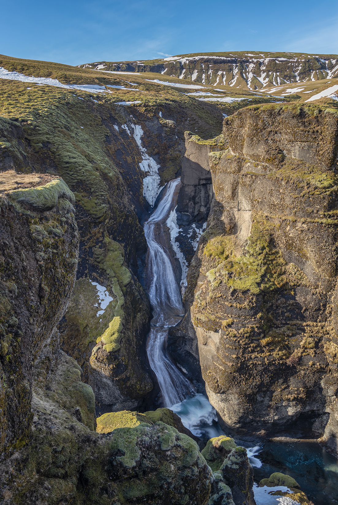
At the top of the path there is a view of the Mogafoss waterfall, which tumbles 115ft into the canyon.
Leaving the Fjardarargljufur, the drive to Vik crosses the wide mossy Eldraun Lava Field. This is the lava flow from the 1783 Laki eruption, which today is covered by woolly fringe moss. The moss is very fragile and takes decades to grow, so should not be walked on or even touched.
The Yoda Cavern
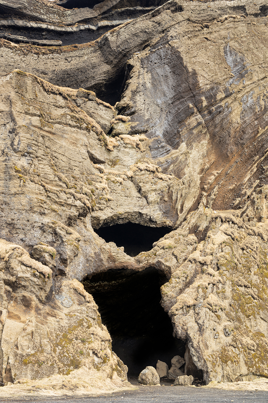
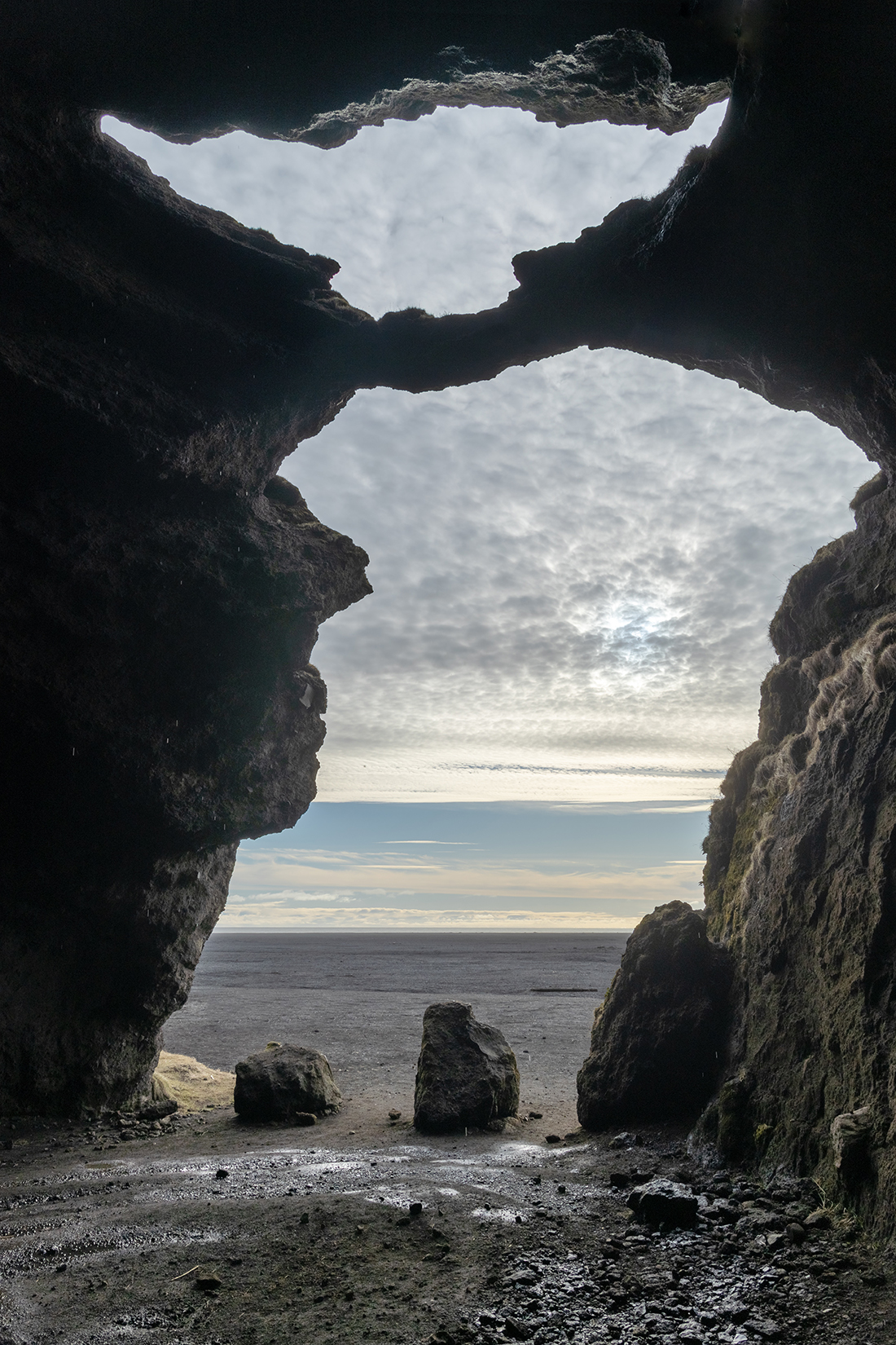
Our last stop before Vik was to visit Gigjagja, a cave in the massive outcrop of Hj0rleifshofdi which rises out of the flat coastal plain not far from Vik. The cave is now better known as the Yoda cave, for obvious reasons.
Look more like Yoda from the inside it does! This is an HDR image to capture some detail in the cave interior without over-exposing the view outside.
Vik Black Beach
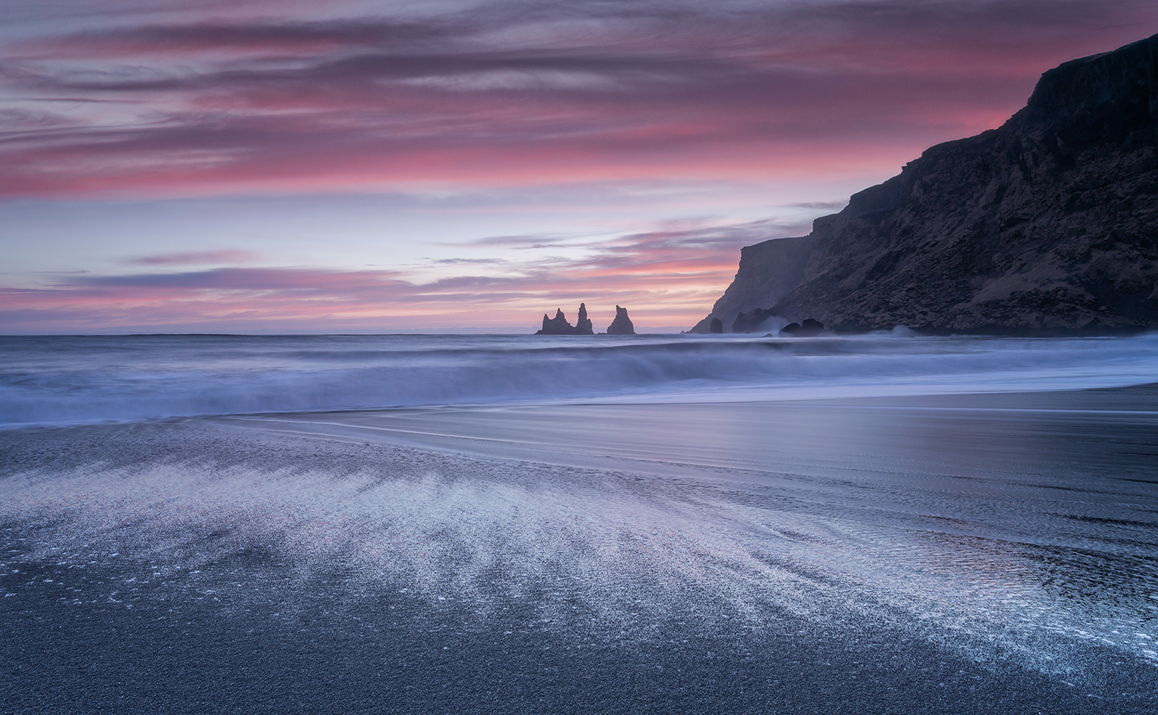
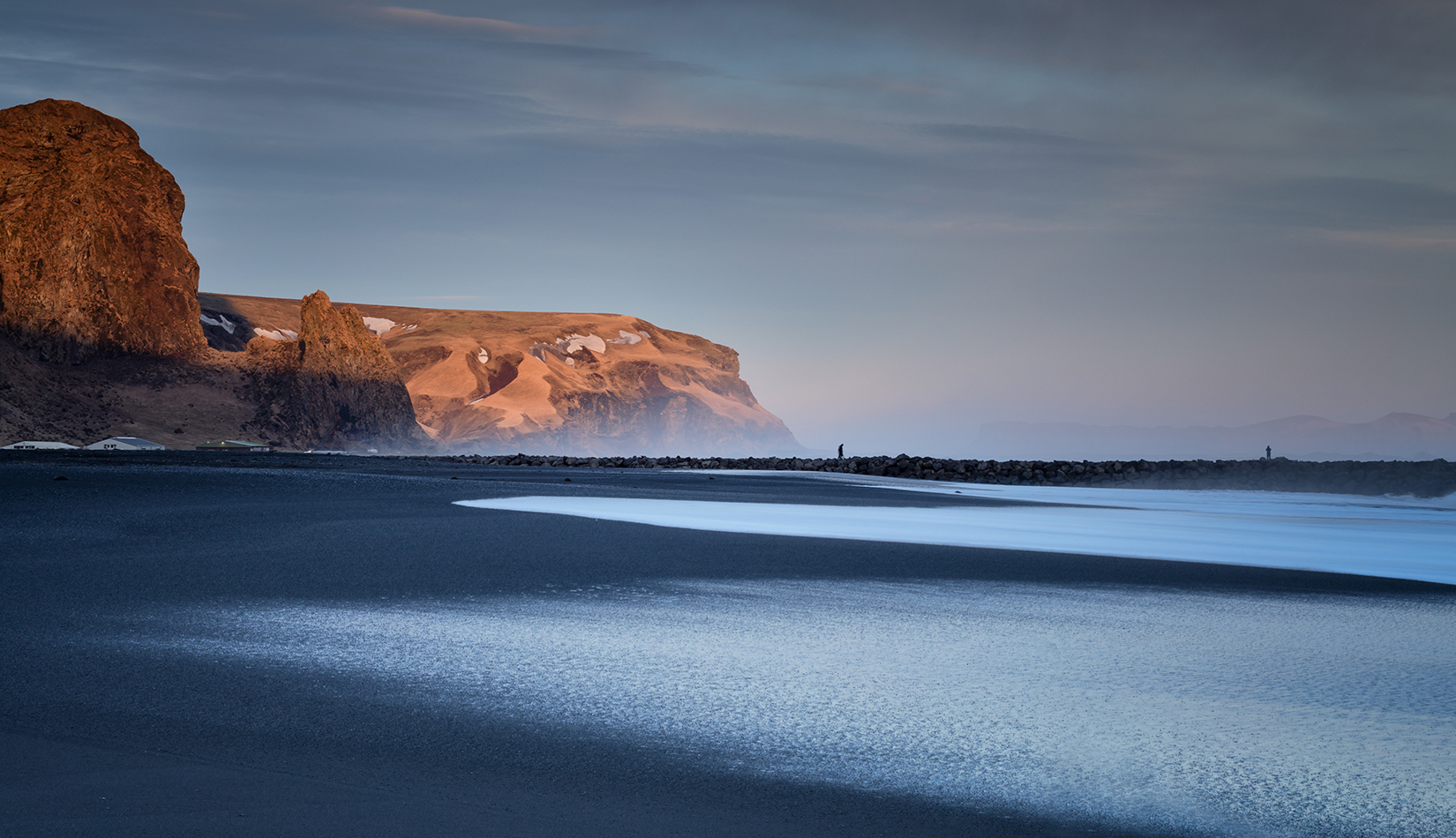
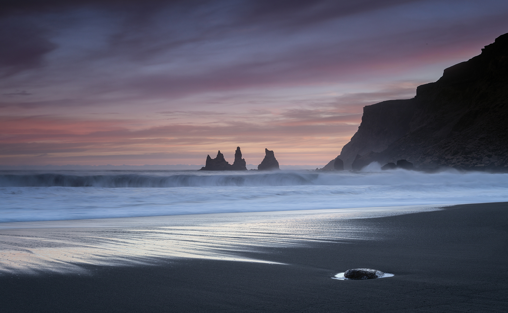
On arrival at Vik, we visited the famous black beach with views towards the Reynisfjara pinnacles. We were rewarded with a lovely sunset, first with the sun shining on the cliffs to the east of the beach, then with good sunset colours behind the famous pinnacles.
One of the fascinating features of the Black Beach is the way that the water soaks into the sand and disappears, leaving a sharp contrast between the glow in the water, and the dry black sand. Every wave produces a different pattern.

