Hunstanton is one of the main resort towns on the North Norfolk Coast, located on the east side of The Wash, about 15 miles north of Kings Lynn. For the photographer, the main attractions are the beach and seafront. Interestingly it is one of the few locations on the east coast of England which actually faces west.
 Location and Parking
Postcode: Hunstanton: PE36 5AJ, Old Hunstanton: PE36 6EL
Access to the beach is restricted by the cliffs which stretch between Hunstanton and Old Hunstanton to the north. There are numerous car parks close to the front in Hunstanton, so the Hunstanton post-code above is roughly central, giving access to the promenade to the south and the beach and cliffs to the north. The Old Hunstanton postcode is for a cliff top car park, where there is access to the beach at the north end of the cliffs. Note that at high tide, parts of the beach become cut off, so be aware of tide times if walking along the beach between Hunstanton and Old Hunstanton.
Hunstanton Sea Defences
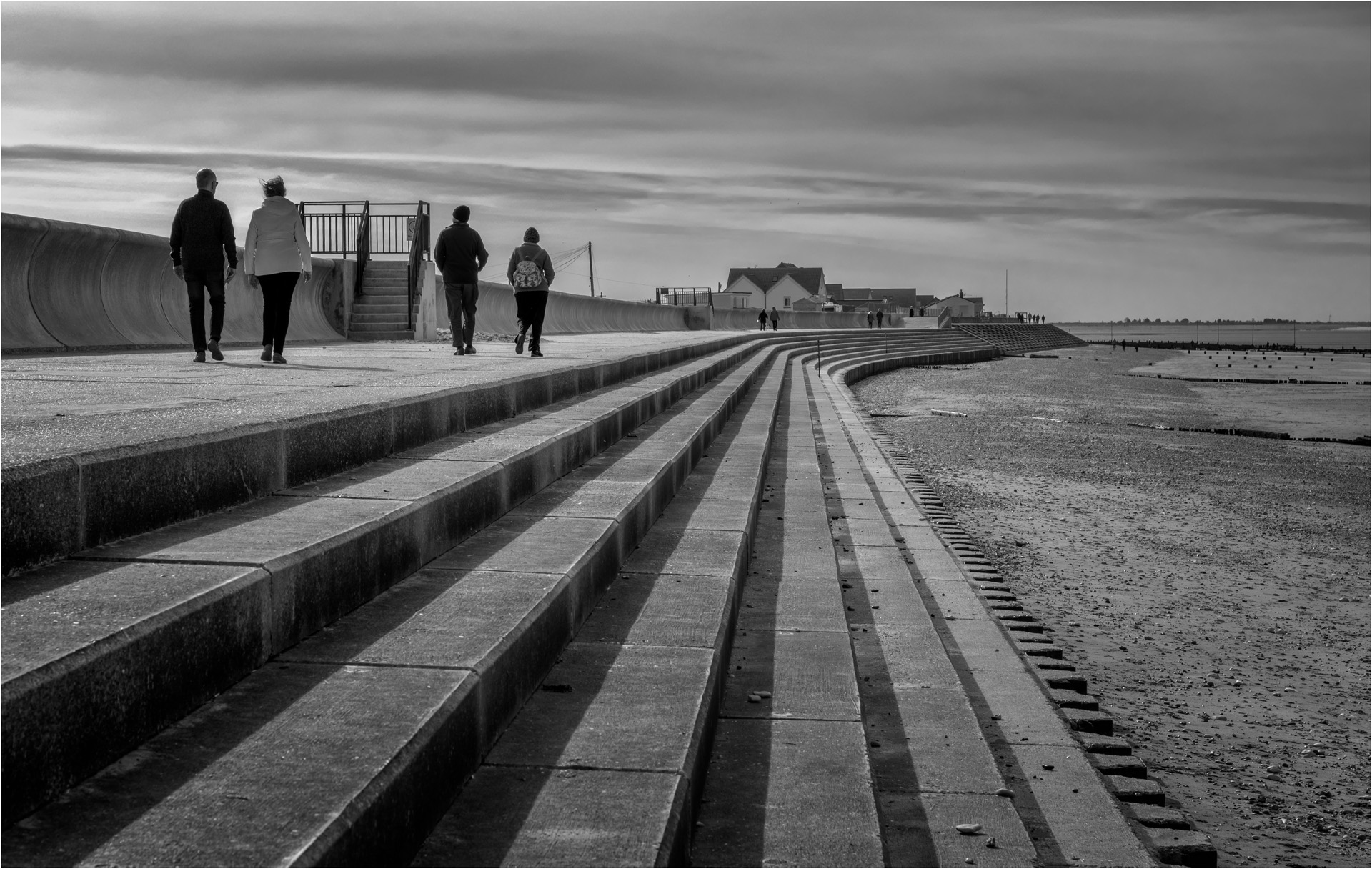
The promenade and sea defences run for about 2 miles south from the town centre towards Heacham with numerous groynes running out into the beach. The repetitive nature of the promenade steps makes a good subject for mono.
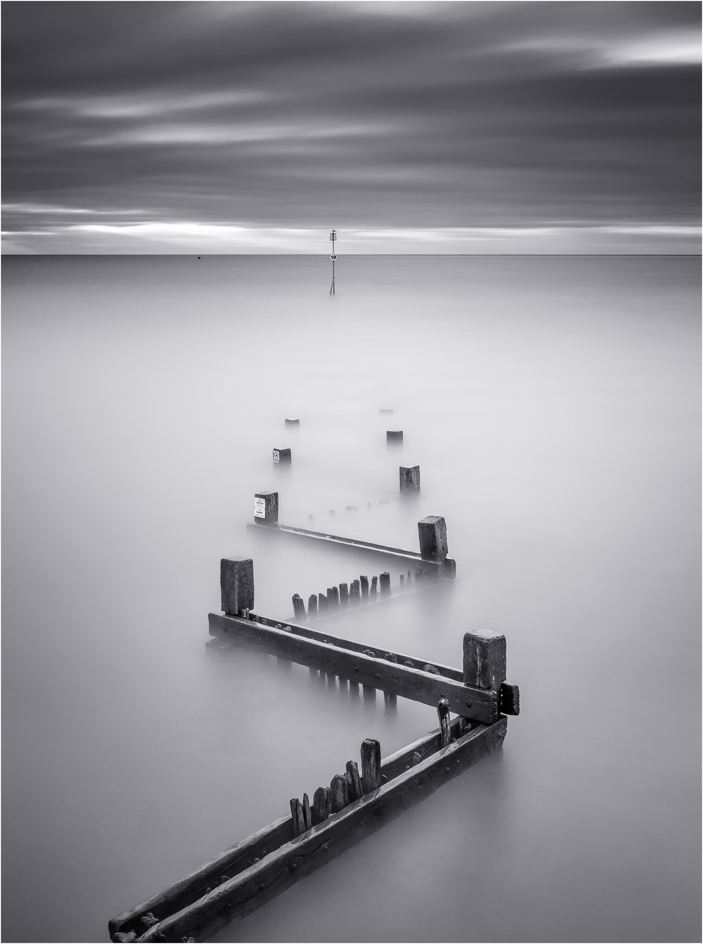
The various groynes running out to sea also make a good subject, backed by the wide expanse of The Wash.
The groynes are particularly suited to long exposure photography when the tide is in. The image below was four minute exposure to remove all detail in the sea.
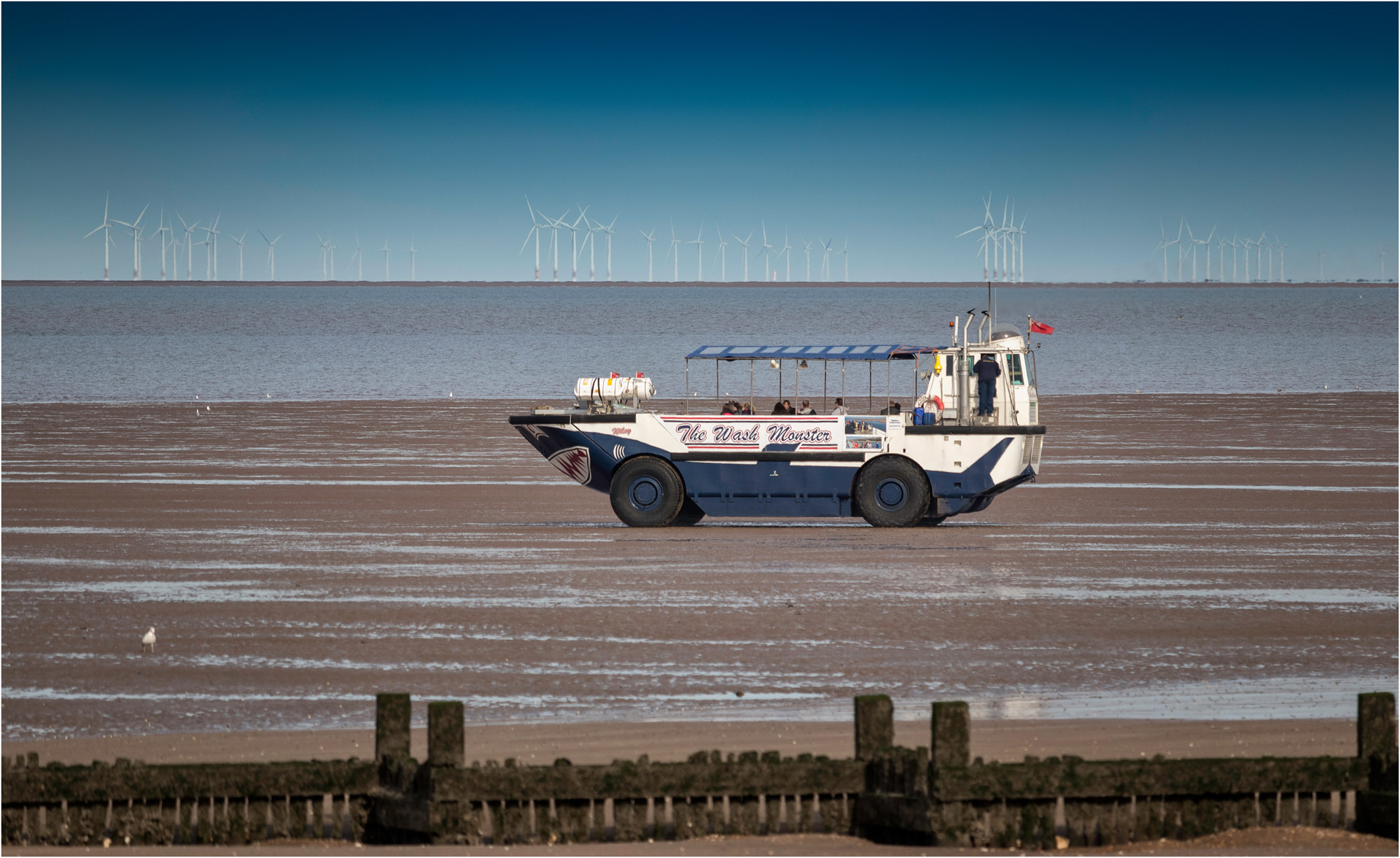
When the tide is out it is possible to take an excursion out onto the mud flats in the Wash Monster, and amphibious vehicle specifically designed for the unique geography of The Wash. The long focal length image below also shows the number of wind turbines that now fill The Wash.
Hunstanton Cliffs
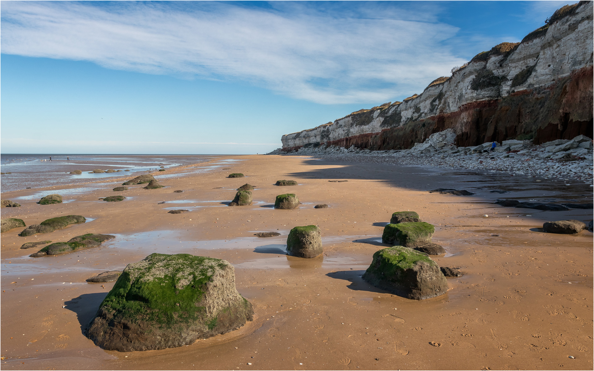
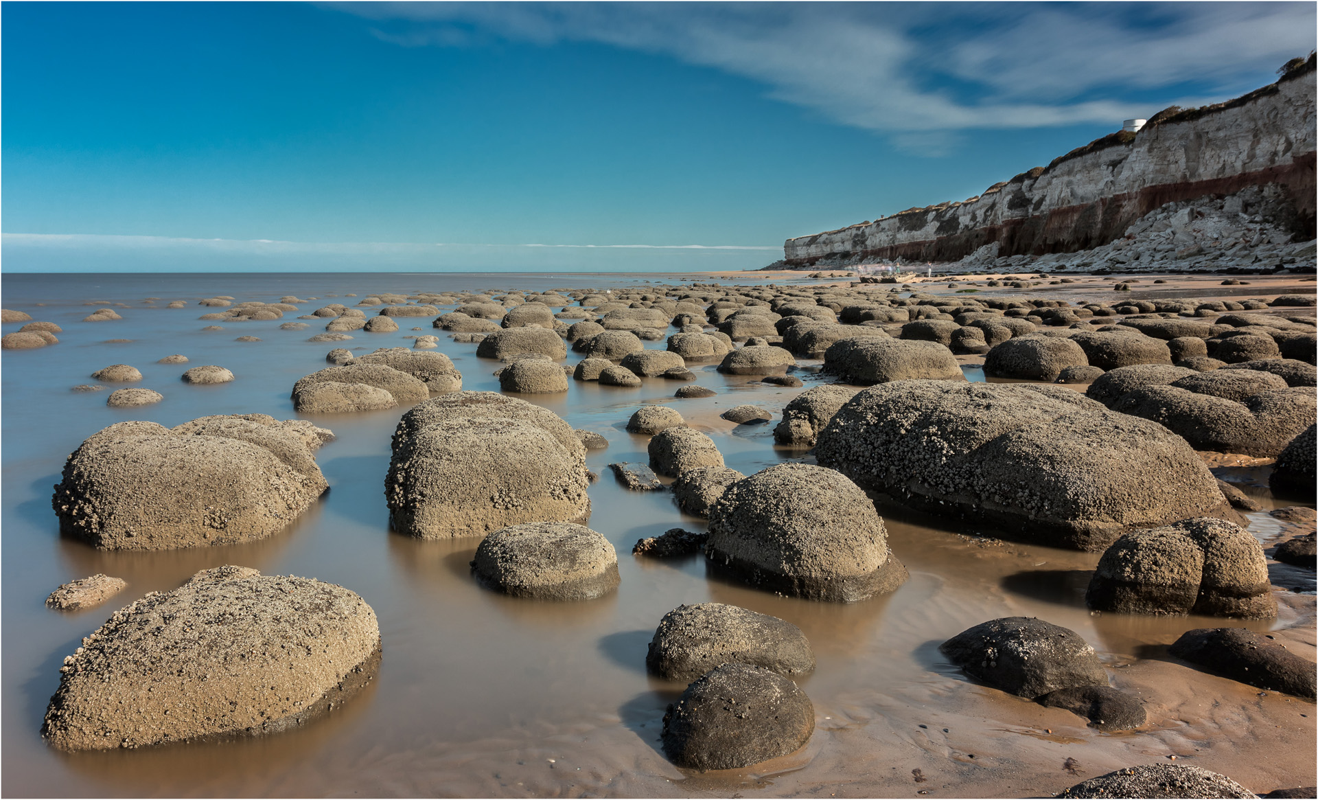
Walking north North from the centre of Hunstanton and the beach is backed by a line of red and white striped cliffs which rise to a height of about 60ft. The cliffs are made up of three layers – brown sandstone (The Carrstone Formation), red limestone (The Hunstanton Formation) and white chalk (The Ferriby Chalk Formation). The cliffs were laid down during the Cretaceous Period, and are an abundant source of fossils, however they are quite unstable, so can be dangerous.
Another interesting feature of the beach is the number of low rocks and rock pools, some of them covered in moss and seaweed as in the image above, others encrusted with barnacles.
The Wreck Of The Sheraton
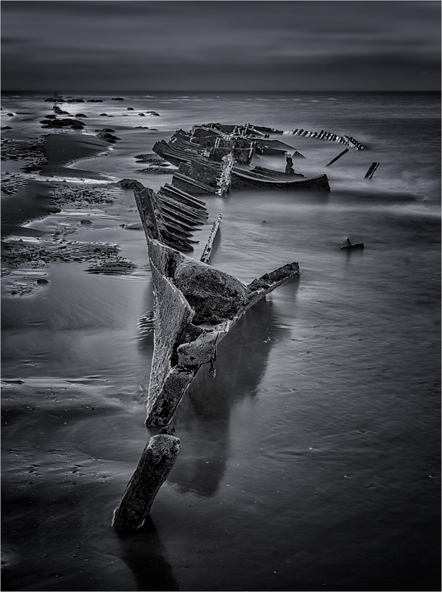
One of the star attractions on the beach is the wreck of The Sheraton. This was a trawler built in 1907 at Hull and operating out of Grimsby. During both World Wars it was requisitioned by the Navy as a minesweeper and patrol boat, and even had a gun turret fitted during WW2. After the end of WW2, it was decommissioned and moored in The Wash to act as a target for the RAF, but during a storm in 1947 it broke free and was washed ashore under the Hunstanton cliffs. Efforts to re-float it were unsuccessful, so it was sold for scrap, stripped down and the remains left to decay.
The most interesting photographs are when the wreck is surrounded by water, but this is best done on a receding tide to avoid the risk of being cut off by an incoming tide. As the sea gradually recedes, it was quite eerie watching the wreck gradually emerge from beneath the water.
The wreck also makes an interesting subject in mon0.
Hunstanton Beach Huts
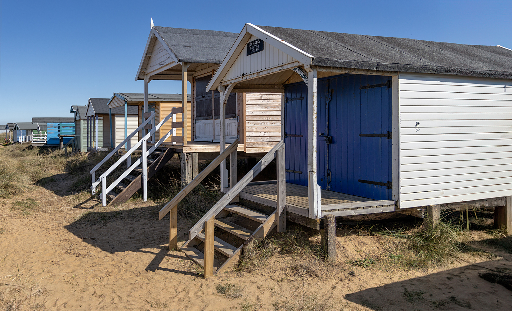
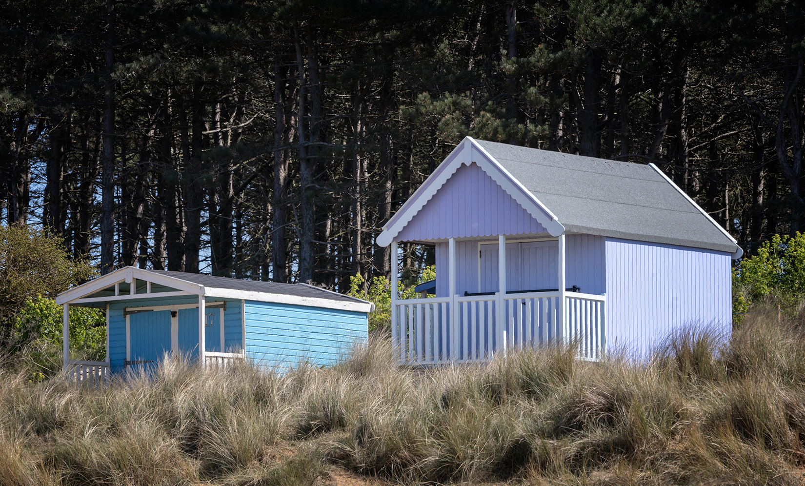
North of the cliffs, the beach is backed by sand dunes, and nestled behind the dunes there are rows of brightly coloured beach huts. Because the huts are right behind the dunes, they are difficult to get a satisfactory composition, but the bright colours are worth photographing.
Hunstanton Birds
The Hunstanton cliffs are home to nesting sea birds – Fulmar in particular in particular can be found in significant numbers. A long lens is needed to bring them within reach – 400mm was used for the image below.
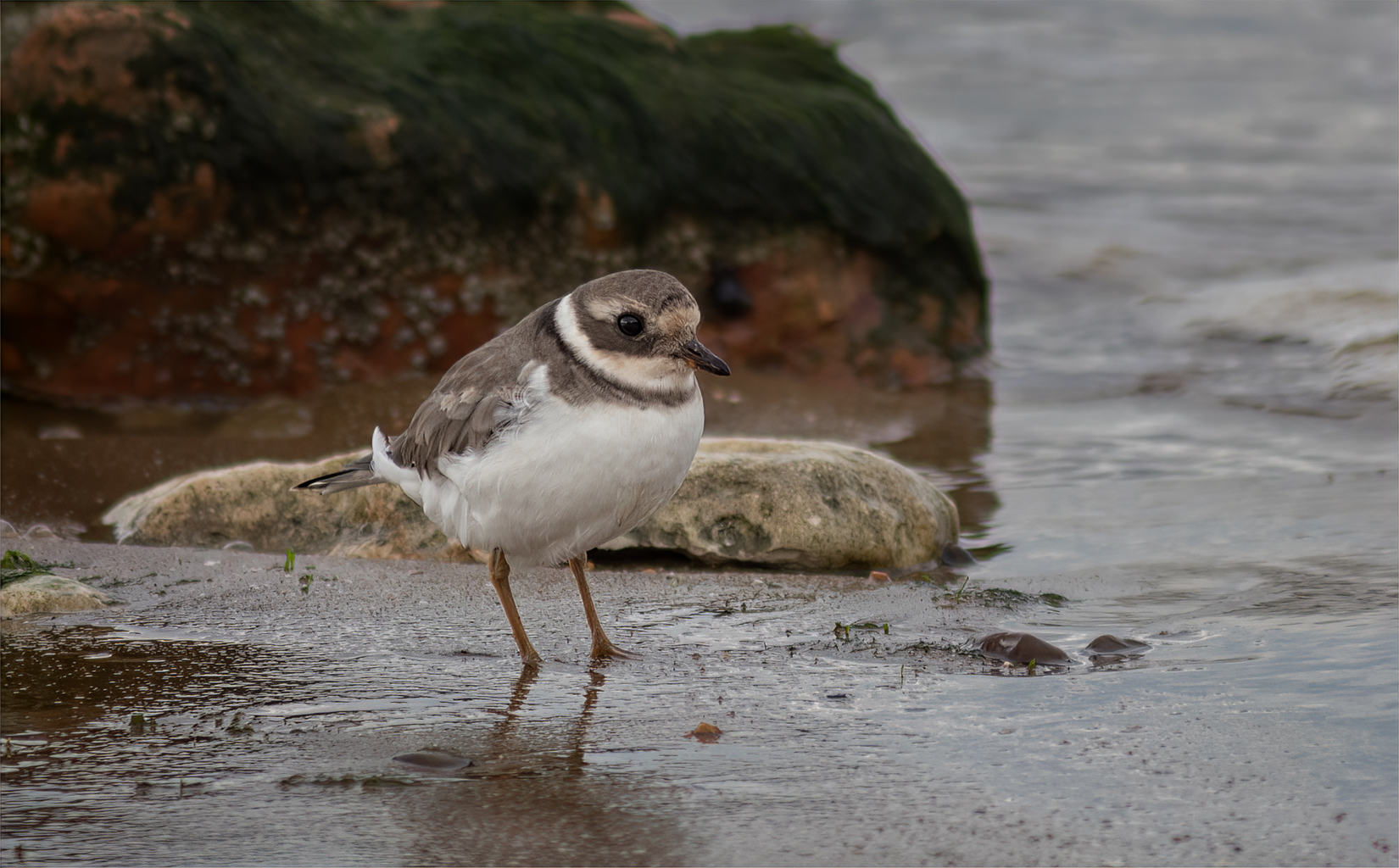
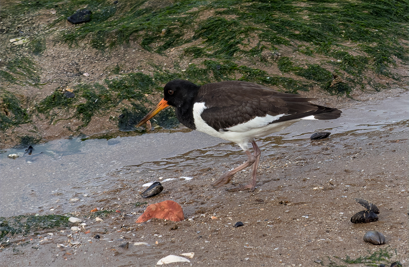
In and around the rock pools there may also be some wading birds. These are best photographed on a rising tide, which will drive them closer in to shore, but be aware of the incoming water and the route off the beach.

